Aquatic Ecosystems
Fresh Water
Fresh water ecosystems include:
Flowing Water
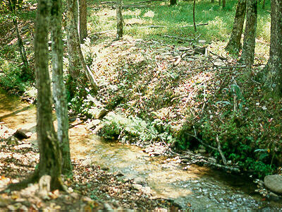
A stream in Cades Cove
Typically, rills join to form gullies, which join to form streams, which join
to form a river.
Rivers can also begin as springs or seepage or outlets of ponds/lakes, for
example:
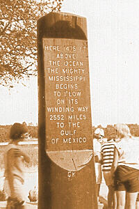
Mississippi Sign
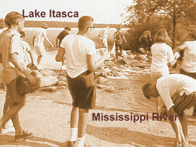
Wading across Mississippi River, Lake Itasca, Minn.
Ohio River, Clermont Co., Ohio
Eventually, many streams and small rivers join to form a large river, such as
the Ohio River, which forms the border between Ohio and Kentucky...
The following areas may be found within a stream or river,
- riffles
- These are also known as rapids or white water. Riffles are the sites
of primary production. Typically, organisms attach to the substrate to
avoid being swept away by the current. Riffle areas have a high
O2 content because of the churning.
- pools
- These are the sites of decomposition. They serve as catch basins for
organic materials and produce the CO2 used by the producers
in the next riffle.
- silt and debris
- These substances are carried downstream and deposited in slow-moving
areas.
- floodplains
- These are those parts of the stream or river channel used at high
tide or after spring rains, etc.
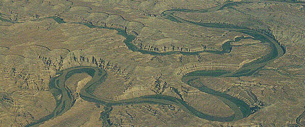
Meandering Green River in Eastern Utah
Still Water
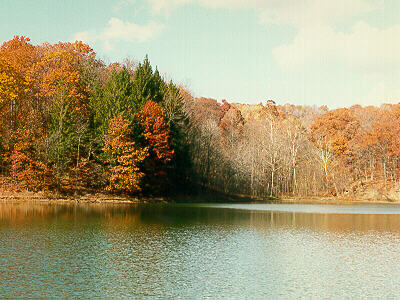
Lake, Brown Co. State Park, Indiana
Still water includes ponds and lakes.
Often, these have an autumnal temperature change or turnover as the upper
water cools, becomes more dense, and sinks. Simultaneously, the lower water
(now warmer) rises. In midsummer, a lake has the typical epi-, meta-, and
hypolimnion layers and other zones, as previously discussed, and the
temperature in the epi- and hypolimnion are fairly constant. The
temperature in the metalimnion changes with depth (there is a thermocline).
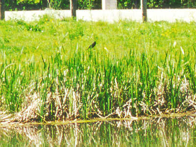
Wetlands
Wetlands are areas that range alone a gradient from
permanently flooded to periodically saturated soil that supports
hydrophytic plants.
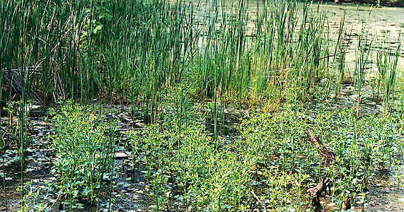
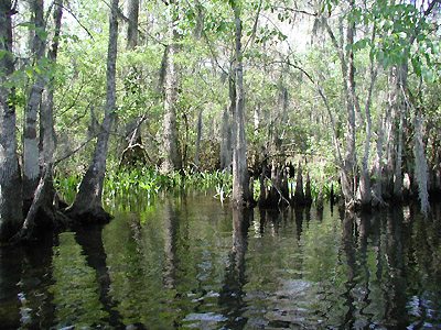
Wetland Community on Clermont Campus
Types of wetlands include
- marshes
 These are areas where there is much emergent vegetation (cattails,
etc.). A marsh is a wet prairie.
These are areas where there is much emergent vegetation (cattails,
etc.). A marsh is a wet prairie.
- swamps
 These are areas which are wooded wetland (such as cypress or mangrove
swamps).
These are areas which are wooded wetland (such as cypress or mangrove
swamps).
- bogs
- These are areas which can range from a filled-in lake to a mat of
accumulated organic material with much water. Bogs depend heavily on
precipitation to supply nutrients, so they usually are low in mineral
salts and are acidic.
Salt Water

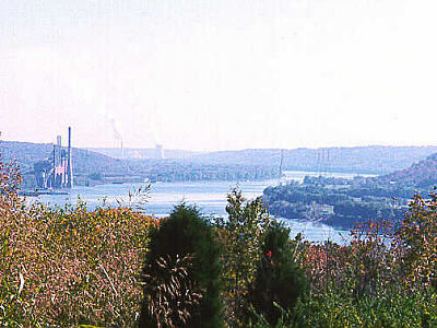
Ocean, Gulf of Mexico
Salt concentration is a limiting factor for organisms which
live in salt water. While open sea contains about 35 ppt of salt, estuary
areas contain much less, and the concentration is more variable. Oceans have
a temperature gradient or thermocline like lakes, and overall water
temperature is also based on latitude (arctic vs equatorial).
Water pressure increases with depth.
Regions or zones of the ocean include:
- pelagic zone
- This includes all the water and may be further subdivided as with the
lake, but different names are used for the same things.
- The photic zone is the epilimnion, and photosynthesis
occurs here. Seaweeds such as kelp, sea turtles, porpoise, numerous
fish, sharks, crustaceans, and corals all live here.
- The mesopelagic zone is the metalimnion, which has a
thermocline, and not much seasonal variation in temperature.
- The
bathypelagic zone
is the hypolimnion where there is total darkness, low temperature,
and high pressure.
- benthic zone
- This is divided into the continental shelf or
neritic zone
and deeper water or the oceanic zone.
- intertidal zone
- This is the shoreline area between high and low tide. Organisms
living in these areas must be able to tolerate changes/fluctuations in
the amount of water.
- estuary
- This is the area where fresh and salt water mix (at the end of a
river). Organisms in an estuary must adjust to variable salt
concentrations.
- tidal marsh
- This is an estuary with a large number of plants.
Copyright © 1999 by J. Stein Carter. All rights reserved.
This page has been accessed  times since 1 Apr 2001.